Geospatial Technology Training
 3 Students


 14-Day Money-Back Guarantee
-
1 Year Access
 -
Intermediate Skill Level
 -
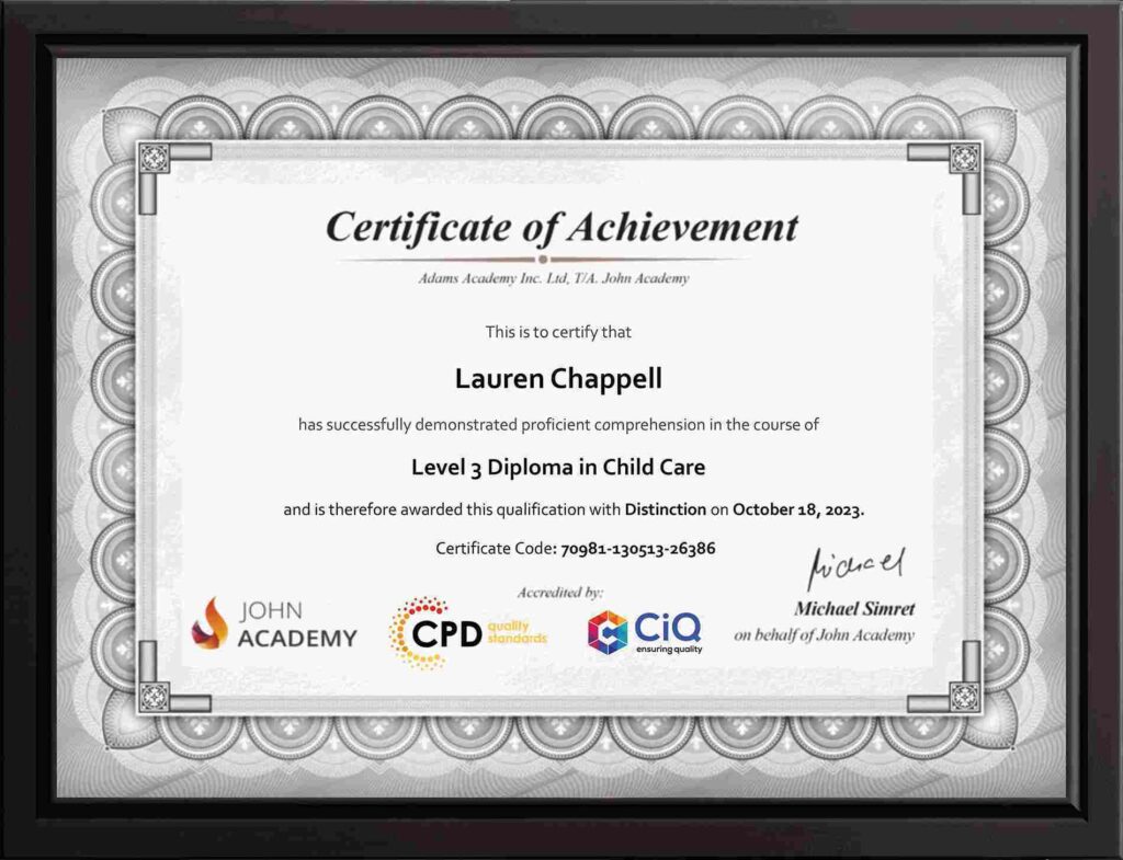
Course Certificate Certificate
 -
9 Units
Units -
0 Quizzes
 -
2 hours, 26 minutes Duration


-
 Introduction to Geospatial Technology 00:18:00
-
Geographic Information Systems (GIS) Basics 00:22:00
-
Spatial Data Management 00:20:00
-
Spatial Analysis Techniques 00:16:00
-
Remote Sensing and Imagery 00:19:00
-
Web-Based Mapping and Visualisation 00:19:00
-
Geospatial Programming and Automation 00:17:00
-
GIS Applications and Real-World Projects 00:15:00
-
Order Your Certificates and Transcripts
What Our Students are Saying

Sam Carpenter
John Academy has helped me in my development, and I took the courses seriously and gained a qualifications certificate, which I've wanted to do for a long time. I highly recommend it, and a few friends have signed up, too. Thank you, John Academy.
Georgina Salazar
Easy to access, generous options for multiple learning and approaches. Supportive team.
Wayne Wright
The course empowers me to make my dreams come true. The course material was excellent. John Academy is good to study.
Romina
I am thankful that I have chosen John Academy for my online courses. It has given me a platform where I have learned a lot. It has so many reading materials with a handful of knowledge. Once again, thank you so much to the John Academy support team, who has cooperated & supported me throughout this journey.
Peter Gilbert
Brilliant course, with so many to choose from, very good value and a certificate at the end. Quick turnaround to receive a certificate. Very good academy I have completed several and have 2 ongoing at the moment. Never had any problems. Excellent customer service. Would recommend.